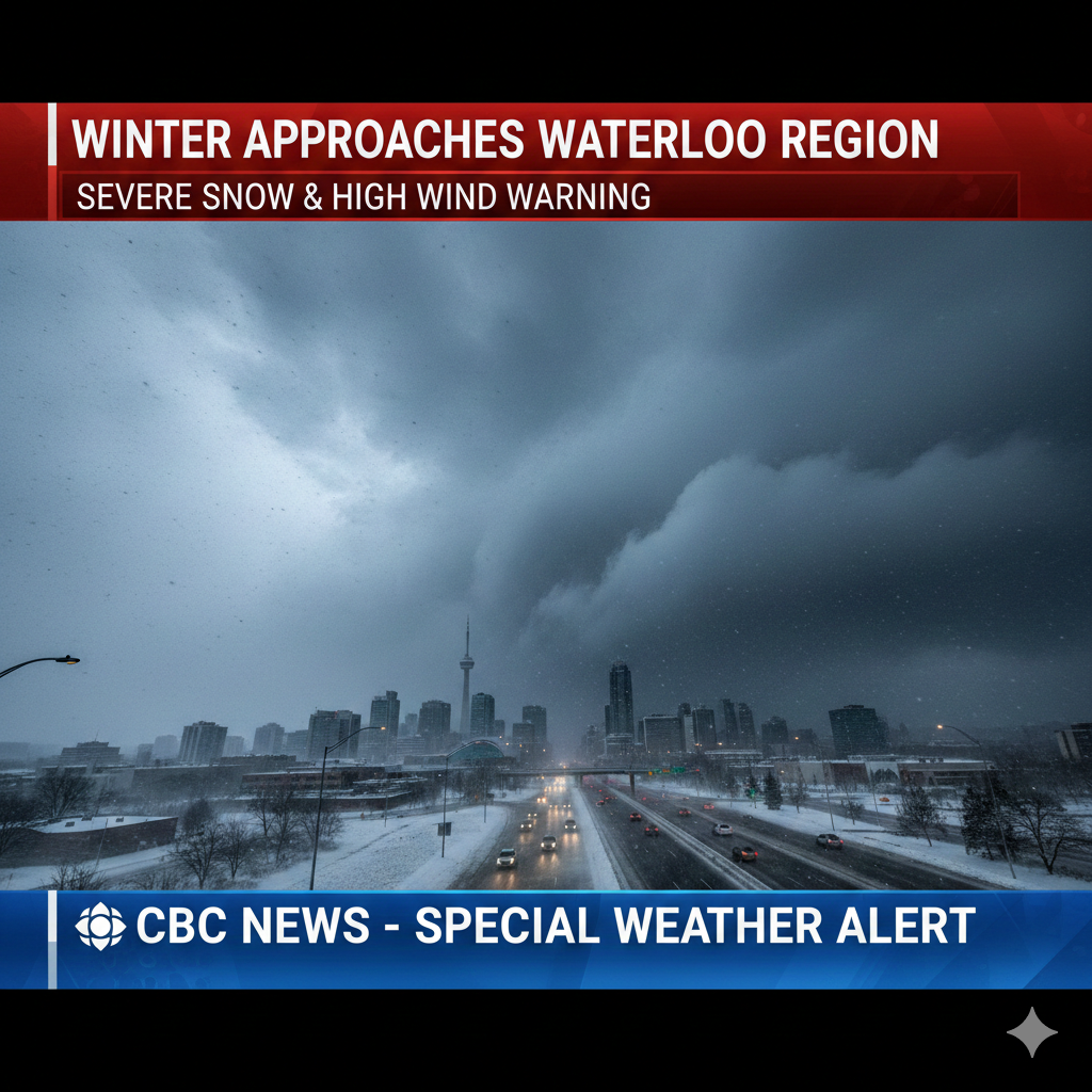
Introduction: A Significant Storm Set to Disrupt the Region
Residents across Waterloo Region are being urged to prepare for a powerful winter system that could bring widespread disruption before the week comes to an end. Environment Canada has issued multiple weather alerts, including a snow squall watch and a special weather statement for strong winds, as forecasters warn that a substantial volume of snow combined with gusty conditions may create hazardous travel and challenging outdoor conditions.
With expected snowfall totals ranging between 30 and 50 centimetres in some areas, this developing weather event has the potential to significantly impact daily routines, transportation networks, and public services. Meteorologists are advising residents to remain vigilant, review winter safety measures, and stay informed as the situation evolves over the next several days.
Snow Squall Watch Signals Major Accumulations Ahead
Environment Canada’s snow squall watch covers much of Waterloo Region, with forecasters predicting an extended period of snowfall beginning early Thursday and stretching into Saturday. While total accumulation across the broader region is estimated between 30 and 50 centimetres, officials caution that localized conditions may result in even heavier amounts in specific pockets.
Denise Andreacchi, weather specialist for 570 News, explained that snow squalls are especially unpredictable in nature. Unlike steady, widespread snowfall, these intense bands can remain concentrated over one community while sparing others nearby. As a result, some neighbourhoods could see dramatic accumulations in a short span of time.
Peak Snowfall Period Expected Early
Andreacchi noted that snowfall is forecast to begin Thursday morning, with the most intense activity occurring early in the system’s development. For Kitchener and surrounding areas, general accumulation on Thursday alone is expected to fall between 5 and 10 centimetres. However, where snow squall bands stall, totals could easily surpass 20 centimetres.
“This type of system can be deceptively severe,” Andreacchi warned. “You might drive through light flurries and suddenly encounter near-zero visibility and rapidly building snow drifts just a few kilometres down the road.”
Such rapidly changing conditions pose a serious risk for motorists, especially during peak travel hours when roads are busiest.
Strong Wind Gusts Increase Risk of Dangerous Travel
In addition to heavy snowfall, a special weather statement has been issued for strong wind gusts, expected to reach speeds of 70 to 80 kilometres per hour. These winds will play a critical role in shaping the overall severity of the storm by blowing fresh snow back onto roadways and reducing visibility.
Andreacchi emphasized that strong winds can make even moderate snowfall much more treacherous. Blowing and drifting snow can cover previously cleared roads, creating a false sense of security and increasing the likelihood of skidding or sudden loss of control.
Commuters Urged to Exercise Extra Caution
Morning and afternoon commutes on Thursday and Friday are projected to be especially challenging. Reduced visibility, snow-packed roads, and drifting conditions could contribute to delays, collisions, and road closures.
“Any snow that falls may just get whipped back onto the streets,” Andreacchi explained. “Drivers should slow down, leave extra space between vehicles, and consider delaying non-essential travel when possible.”
Pedestrians and cyclists are also encouraged to be cautious, as wind gusts combined with icy surfaces could heighten the risk of slips, falls, and injuries.
Extended Periods of Snow Continue Into the Weekend
Although Thursday is expected to be the most intense day, snow is likely to persist in lighter intervals through the rest of the week. Conditions are forecast to gradually ease, but not before adding further accumulation.
Forecast Breakdown Through Sunday
- Friday: Light snow or flurries are expected, with accumulations generally limited to trace amounts, though some areas may receive up to 2 centimetres.
- Saturday: Snowfall could pick up slightly, adding up to 5 centimetres in some locations.
- Sunday: Another 6 centimetres may fall as lingering winter conditions continue to grip the region.
While winds are anticipated to weaken as the weekend approaches, they will remain strong enough at times to cause intermittent drifting and reduced visibility, particularly in open or rural areas.
Meteorologists Track Unusual Atmospheric Patterns
CityNews Chief Meteorologist Natasha Ramsahai explained that the storm system is being driven by a complex interaction of atmospheric forces. A disturbed polar vortex moving in from the Prairies is merging with an Alberta clipper, forming a low-pressure system that is influencing weather patterns across both northern and southern Ontario.
This combination is generating the conditions necessary for both heavy snowfall and strong winds, creating a storm that is not only impactful but also meteorologically noteworthy.
Sudden Stratospheric Warming Adds to the Threat
Ramsahai pointed to a phenomenon known as sudden stratospheric warming (SSW) as a key factor in the storm’s development. This event weakens the atmospheric “wind wall” that typically contains cold Arctic air, allowing it to spill southward more aggressively.
“What makes this notable is its timing,” Ramsahai explained. “An SSW event this early in the season is rare and has only been observed a handful of times in the last 70 years.”
While occasional cold snaps are common in late autumn and early winter, this early-season disruption heightens the risk of prolonged cold and persistent wintry conditions across the region.
La Niña’s Role in Shaping the Winter Outlook
Meteorologists also point to the ongoing La Niña pattern as a contributing factor to the current weather shift. La Niña, a climate phenomenon linked to cooler-than-average ocean temperatures in the Pacific, often influences North American weather by promoting colder and stormier winters in certain regions.
According to the CityNews winter outlook released earlier this month, the first half of winter is expected to be notably colder across the Great Lakes region. However, forecast models suggest that conditions may gradually moderate in early 2026, bringing a milder second half of the season.
Despite this longer-term prediction, experts stress that residents should focus on immediate safety and preparedness as this current storm progresses.
Community Impact and Preparedness Measures
Municipal crews in Waterloo Region are preparing for increased snow-clearing demands, and officials advise residents to brace for possible service disruptions. Public transit schedules may be delayed, and some community facilities could experience temporary closures depending on road and weather conditions.
Practical Safety Tips for Residents
To minimize risk during the storm, authorities recommend:
- Keeping emergency kits in vehicles, including blankets, water, and flashlights
- Checking local weather updates frequently
- Avoiding unnecessary travel during peak storm hours
- Ensuring walkways and driveways are cleared promptly to prevent ice buildup
- Securing loose outdoor items that could be blown by strong winds
Homeowners are also encouraged to monitor roof snow loads and ensure heating systems are functioning properly, especially as colder temperatures settle in behind the storm.
Conclusion: Staying Informed Is Key as Winter Takes Hold
As Waterloo Region braces for one of the season’s most impactful winter systems so far, officials and meteorologists alike stress the importance of preparedness, caution, and adaptability. With heavy snowfall, powerful wind gusts, and unpredictable squall activity expected, conditions can change rapidly, making awareness and responsiveness essential.
While the storm underscores the power of early winter weather patterns, it also serves as a reminder for residents to take winter safety seriously. Staying updated through official weather alerts, practicing safe driving habits, and remaining flexible with travel plans will be critical in navigating the days ahead.
As this wall of winter advances, the region’s focus will remain on safety, resilience, and community cooperation to weather the storm and minimize its impact on daily life.
Leave a Reply